Example of my work at CycloMedia
- 1. Examples of my work at CycloMedia Nick van der Kolk Regio Zuid-Nederland
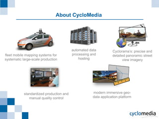
- 2. About CycloMedia dm automated data CycloramaŌĆÖs: precise and fleet mobile mapping systems for processing and detailed panoramic street systematic large-scale production hosting view imagery standardized production and modern immersive geo- manual quality control data application platform
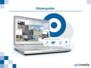
- 3. Globespotter
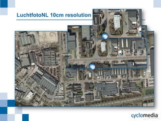
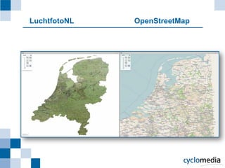
- 5. LuchtfotoNL OpenStreetMap
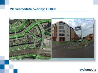
- 6. 2D vectordata overlay: GBKN
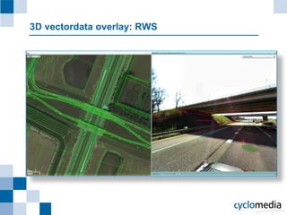
- 7. 3D vectordata overlay: RWS
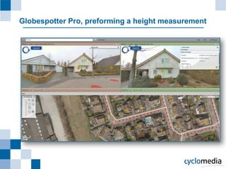
- 8. Globespotter Pro, preforming a height measurement
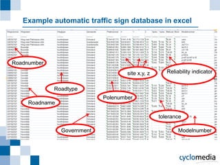
- 9. Example automatic traffic sign database in excel Roadnumber site x,y, z Reliability indicator Roadtype Polenumber Roadname tolerance Government Modelnumber
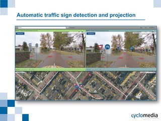
- 10. Automatic traffic sign detection and projection