Classwork: Using Maps
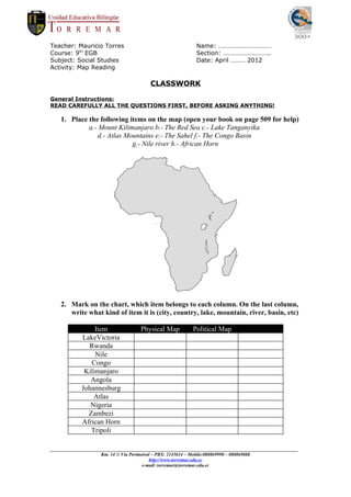
- 1. Teacher: Mauricio Torres Name: âĶâĶâĶâĶâĶâĶâĶâĶâĶâĶâĶ Course: 9th EGB Section: âĶâĶâĶâĶâĶâĶâĶâĶâĶ.. Subject: Social Studies Date: April âĶâĶâĶ 2012 Activity: Map Reading CLASSWORK General Instructions: READ CAREFULLY ALL THE QUESTIONS FIRST, BEFORE ASKING ANYTHING! 1. Place the following items on the map (open your book on page 509 for help) a.- Mount Kilimanjaro b.- The Red Sea c.- Lake Tanganyika d.- Atlas Mountains e.- The Sahel f.- The Congo Basin g.- Nile river h.- African Horn 2. Mark on the chart, which item belongs to each column. On the last column, write what kind of item it is (city, country, lake, mountain, river, basin, etc) Item Physical Map Political Map LakeVictoria Rwanda Nile Congo Kilimanjaro Angola Johannesburg Atlas Nigeria Zambezi African Horn Tripoli _________________________________________________________________________________________________________ Km. 14 Â― VÃa Perimetral â PBX: 2145614 â Mobile:080869990 â 080869888 http://www.torremar.edu.ec e-mail: torremar@torremar.edu.ec
