


Gis and gps
- 1. GIS AND GPS
- 2. GIS and GPS GIS: Geographic Information Systems GPS: Global Positioning Systems
- 3. Geographic Info. System GIS: computer system that stores in a database a variety of information about geographic locations
- 4. Geographic Info. System GIS: integrates hardware, software, and data for capturing, managing, analyzing, and displaying all forms of geographically referenced information (http://www.gis.com/content/what-gis)
- 5. Geographic Info. System http://educononline.com/2008/12/03/gps-gis-and-the-outdoor-classroom/
- 6. Geographic Info. System 3 primary uses of GIS (Parmenter and Burns, 2001) - record and maintain large amounts of geographic information -produce up-to-date, customized maps -allow analysis and comparison of information on different locations
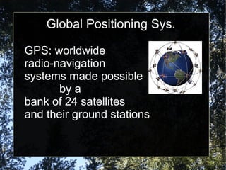
- 7. Global Positioning Sys. GPS: worldwide radio-navigation systems made possible by a bank of 24 satellites and their ground stations
- 8. Global Positioning Sys. GPS: uses satellites as reference points to calculate positions of anything on earth accurate to a matter of feet or inches
- 9. Global Positioning Sys. GPS receiver: hardware that receives the information transmitted by the satellites in a car, at home, or in a laptop that is connected to mapping software
- 10. Ěý
- 11. Ěý
- 12. Ěý
- 13. iPaQ GPS
- 14. EXPLORIST GPS