Simulation: Instructions ((SahanaCamp 1.2)
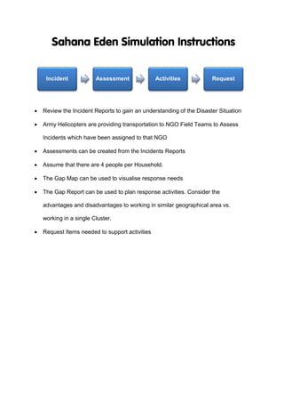
- 1. ï· Review the Incident Reports to gain an understanding of the Disaster Situation ï· Army Helicopters are providing transportation to NGO Field Teams to Assess Incidents which have been assigned to that NGO ï· Assessments can be created from the Incidents Reports ï· Assume that there are 4 people per Household. ï· The Gap Map can be used to visualise response needs ï· The Gap Report can be used to plan response activities. Consider the advantages and disadvantages to working in similar geographical area vs. working in a single Cluster. ï· Request Items needed to support activities Incident Assessment Activities Request

