Using GDAL In Your GIS Workflow
- 1. Using GDAL in Your GIS Workflow:An OSGeo Approach
- 2. A little about me...President and Lead Consultant at Carteryx15 years experience using geospatial technologiesInvolved in forestry, mining, engineering, environmental and many other sectors...Have used open source GIS for past 10 yearsGIS development and deployment specialistExperience in a number of software platforms
- 3. IntroductionA GIS is only as good as the data that goes in to it...Preparing data can take time...time you may not haveGDAL utilities can run at command line or as libraryProjection conversion, format conversion, sub-set...Bindings for Python and dll¡¯s for Visual Studio
- 4. AgendaWhat is GDAL?Acquiring and Installing GDAL and it¡¯s associated utilitiesGetting basic raster and vector informationConverting between raster file typesConverting between vector file typesBasics of GDAL/OGR/OSR Python bindingsSample Python code to get metadata from series of rasters
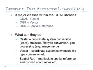
- 5. GEOSPATIAL DATA ABSTRACTION LIBRARY (GDAL)
- 6. File Types
- 10. Command LineMany commands availableogr2ogr ¨C convert between data types, coordinate systems etc.gdalinfo ¨C get summary or comprehensive metadata from raster data setsgdaltindex ¨C create a MapServer style raster index shapefilegdaltransform ¨C transform coordinates between spatial reference systemsPython scriptsgdal_merge.py ¨C quick merge of multiple raster images to one imagegdal2tiles.py ¨C create multiple tiles from a single rastergdal2xyz.py ¨C create xyz text file from raster
- 11. Command LineOff we go to the demo...
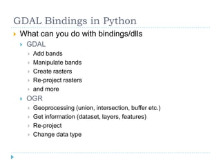
- 12. GDAL Bindings in PythonWhat are GDAL Python BindingsGDAL/OGR/OSR libraries that are accessible to PythonGives data manipulation capabilities to PythonHow do they work?Calls to the libraries in the code...fromosgeo.gdalimport * or importosgeo.gdalasosrfrom osgeo.ogr import * or import osgeo.ogr asogrfrom osgeo.osr import * or import osgeo.osr asosrWhat is the big advantage?Batch processing and combining with built-in python functions
- 13. GDAL Bindings in PythonWhat can you do with bindings/dllsGDALAdd bandsManipulate bandsCreate rastersRe-project rastersand moreOGRGeoprocessing (union, intersection, buffer etc.)Get information (dataset, layers, features)Re-projectChange data type
- 14. Creating Our First Python/GDAL appOff we go to the demo...
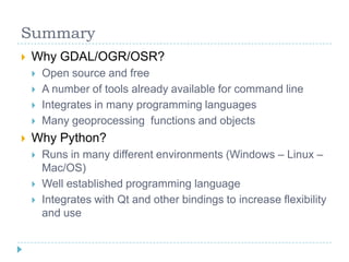
- 16. Open source and free
- 17. A number of tools already available for command line
- 18. Integrates in many programming languages
- 19. Many geoprocessing functions and objects
- 20. Why Python?
- 21. Runs in many different environments (Windows ¨C Linux ¨C Mac/OS)
- 22. Well established programming language
- 23. Integrates with Qt and other bindings to increase flexibility and useMore InformationHow to get more training....Contact Carteryx @ info@carteryx.com or 778.668.5025More training classes to come (watch http://www.carteryx.com)Pre-defined and Personalized training....Linkshttp://fwtools.maptools.org/http://map.hut.fi/doc/Geo-GDAL/html/namespace_geo.htmlhttp://trac.osgeo.org/osgeo4w/http://www.python.orghttp://www.diveintopython.org/

