Chapter 11 Gazetted plan - Cadastral Surveying II
0 likes2,588 views
![[ Nor Khalila Na'ima ]](https://cdn.slidesharecdn.com/profile-photo-AmianRon-48x48.jpg?cb=1550151814)
The document discusses gazettes, which are official government publications used to notify the public of notices, orders, and other information. It notes that gazettes are published by state and federal authorities and can consolidate notifications. Gazette plans show specific boundaries or spatial information specified in gazettes, such as areas being reserved, leased, or having reservations revoked. The preparation of gazette plans involves data collection, drafting, approval by the Director of Survey, and submission of copies. Gazette plans must contain certain information and are used by Land Offices to draft gazettes for publication.


Chapter 11 Gazetted plan - Cadastral Surveying II
- 2. ď‚ž Isan announcement in an official journal (Merriam-Webster) ď‚ž Isa notice, order or notification in a specific government publication.
- 3. ď‚ž Toinform general public on any notices, orders and notifications ď‚ž Asa legal document to proof that the notices, orders or notifications had been made public.
- 4.  Gazette of the State  Published by the State Authority  Gazette of the Federation  Published by the federal Authority
- 5. ď‚ž The State Director, the Registrar or Land Administrator may consolidate notifications in the gazette ď‚ž Such consolidated notification shall be deemed to constitute a good and sufficient in the gazette.
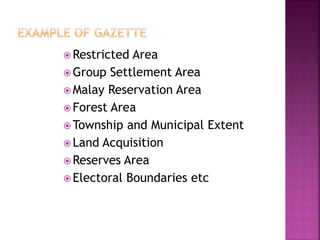
- 6. ď‚ž Restricted Area ď‚ž Group Settlement Area ď‚ž Malay Reservation Area ď‚ž Forest Area ď‚ž Township and Municipal Extent ď‚ž Land Acquisition ď‚ž Reserves Area ď‚ž Electoral Boundaries etc
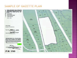
- 8. Gazette plan is a plan showing specific boundaries or other spatial information as specified in the main gazette.
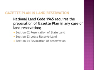
- 9. National Land Code 1965 requires the preparation of Gazette Plan in any case of land reservation;  Section 62 Reservation of State Land  Section 63 Lease Reserve Land  Section 64 Revocation of Reservation
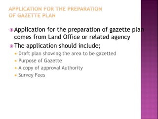
- 10.  Applicationfor the preparation of gazette plan comes from Land Office or related agency  The application should include;  Draft plan showing the area to be gazetted  Purpose of Gazette  A copy of approval Authority  Survey Fees
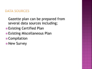
- 12. Gazette plan can be prepared from several data sources including; ď‚ž Existing Certified Plan ď‚ž Existing Miscellaneous Plan ď‚ž Compilation ď‚ž New Survey
- 13. If the gazette plan is compiled from existing certified plan or miscellaneous plan, linear misclosure of the compiled lot shall not less than 1:4000.
- 14. Field survey shall be carried out if no existing plan available over the proposed gazetted area or linear misclosure of the compiled lot is below than 1:4000
- 15. • Data collection (field survey or compilations) • Prepare a draft of gazette plan • Submit draft to applicant for comments • Prepare final gazette plan • Approved by the Director of Survey • Submit 6 copies of gazette Plan
- 16. • Lot number • Area • North direction • Scale • Standard sheet number • Administrative boundaries • Adjacent lot and abuttal.
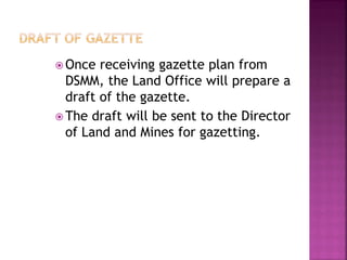
- 18. ď‚ž Once receiving gazette plan from DSMM, the Land Office will prepare a draft of the gazette. ď‚ž The draft will be sent to the Director of Land and Mines for gazetting.