FOSS4G OSAKA„é„€„È„Ë„ó„°„È©`„Ż
10 likes1,543 views

OSS€Èév€ï€ër€Ë ÖȘ€Ă€Æ€€€ż€Û€Š€Ź €€€€€«€â€·€ì€Ê€€ „Ä©`„ë€äŒŒĐg
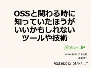


![I think something
"terrible" happened
with one
of Kayama Yoichi's
last pull request [1].
92](https://image.slidesharecdn.com/foss4g2013osakalt-131109230728-phpapp02/85/FOSS4G-OSAKA-92-320.jpg)


More Related Content
What's hot (20)
Viewers also liked (11)


Similar to FOSS4G OSAKA„é„€„È„Ë„ó„°„È©`„Ż (20)


More from Yoichi Kayama (20)


Recently uploaded (15)


FOSS4G OSAKA„é„€„È„Ë„ó„°„È©`„Ż
- 2. ŚÔŒșœBœé ?OSGeo.JP ß\ÓÎŻT ?OSGeo.org Charter member ?GIS ѧ»á(FOSS4G ·ÖżÆ»á)»áT ?QGIS ÈŐ±ŸŐZGUI ·ÔU „ł©`„Ç„Ł„Í©`„ż „Ț„Ë„ć„ą„ë·ÔU ?GIS „Ś„í„°„é„Ț ŃĐŸżT łŻÈŐșœŃóÖêÊœ»áÉç ?Twitter ID @pokopen ?CSISŒÄžœŃĐŸżČżéT fÁŠŃĐŸżT ?Éç»á»ù±PÇéóÁśÍšÍÆßM fŚh»á „·„č„Æ„àWG ? 2
- 6. 6
- 31. Èô€€ÈË Ïò€±€Ë 31
- 54. 54
- 56. 56
- 57. 57
- 58. 58
- 59. 59
- 60. 60
- 61. 61
- 62. Git€ÈGitHub 62
- 63. 63
- 73. €œ€Š€č€ë€ÈĄ. 73
- 77. €È€€€Š€ł€È€Ç 77
- 81. 81
- 87. 87
- 90. ÒîÈŐ„á©`„ë€Ë 90
- 92. I think something "terrible" happened with one of Kayama Yoichi's last pull request [1]. 92
- 93. It may be a good thing for Japanese files but certainly not for French, German, Dutch, etc. 93
- 95. (?§„?) 95
- 97. (?§„?) 97
- 102. (??Łà) 102